The Russian Federation marked Kherson and Zaporizhzhia as «its» territories in the school atlas
-

- Mariia KhamitsevychCorrespondent
A photo of a Russian geography atlas for the 8th grade appeared on the Internet, in which not only Donetsk and Luhansk, but also Zaporizhzhia and Kherson are included among the «new regions» of the Russian Federation.
This was reported by the Russian opposition publication Astra.
It should be noted that the Russians «united» Kherson with Crimea, and the border along the Dnieper between the liberated and occupied parts is so vague that it is difficult to distinguish the right and left banks.
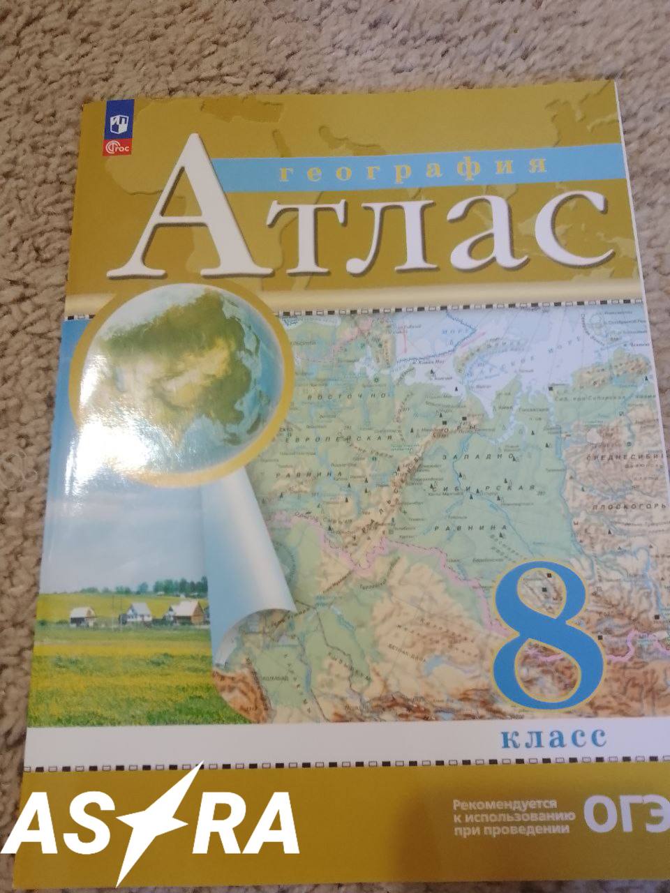 Russian school atlas, photo: Astra
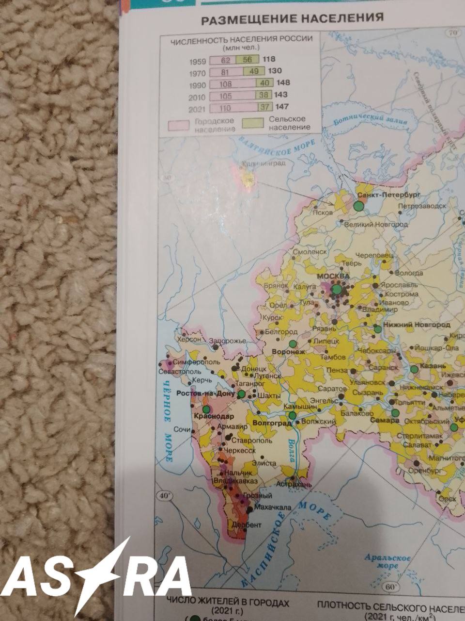 Russian school atlas, photo: Astra
We will remind that the temporarily occupied Kherson was liberated from the Russians in November 2022, and Zaporizhzhia was never under the control of the Russian Federation.
«In geography atlases for 8th graders, Zaporizhzhia was included in Russia. The Russian army did not reach the city of Zaporizhzhia,» the publication said.
It was previously reported that in Russia, the question about «Kherson's entry into the Russian Federation» was included in the demonstration version of the Unified State Exam in History.
In one of the tasks, Russian graduates are offered to correlate geographical objects with historical events and dates. It is assumed that it is necessary to answer that Kherson became part of the Russian Federation in 2020.
